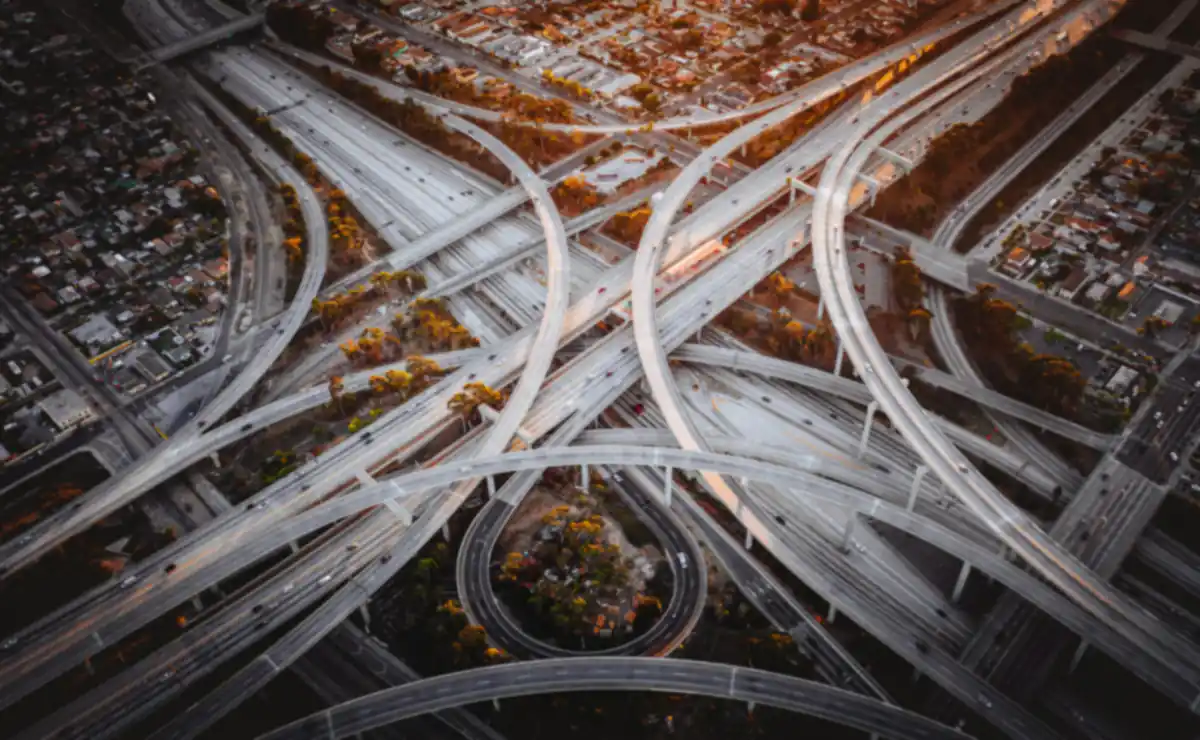
“Even the brightest engineer can't make sense of a 20-mile drone scan.”
Drones scans exist, but they are unstructured. For high-stakes projects that span $250M-$1B+ in budget, a picture is not enough. A single visual fact everyone can trust is what's needed.
Check for yourself →Built for the projects other systems can't scale to serve
Robust at scale
Where every other tool breaks. Responsive, clear and fast, for the biggest, most complex projects.
Automated analysis
No manual work needed. No heavy lifting. Every element is analyzed automatically, in the context of the project.

Structured data for agents
Integration ready for seamless capture to action workflows. MCP and API, ready for the rest of your contech stack.
Visual for humans
Every data point is visual, clickable, trusted. Query and search the interactive chat map to link data to reality.
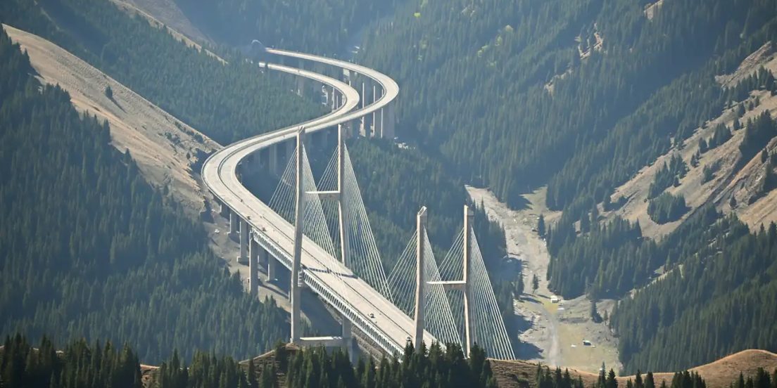
Simple
Drone scans you already captured, already stored, now understandable. No special equipment needed.
5-min training
Built for field and executives alike, for top to bottom trust and transparency.
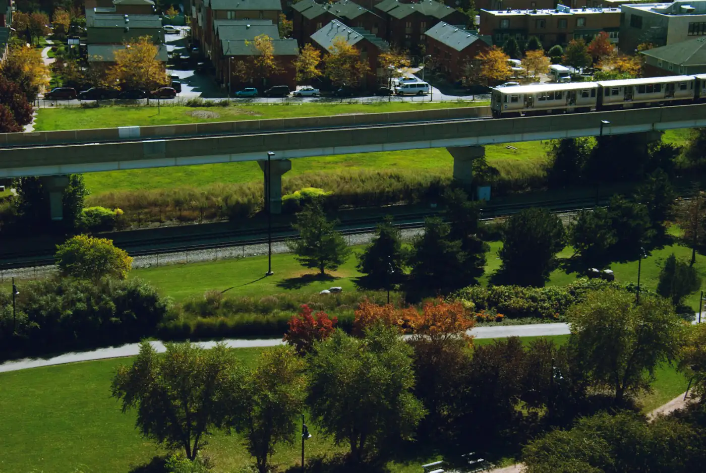
Works with BIM, or without it
The world's biggest infrastructure projects are built from 2D drawings: rail, highways, pipelines. Every BIM-dependent tool is locked out. We were built for exactly this.
Check for yourself →
Drone scans in. Answers out.
Progress, quality, equipment, materials, safety, waste.
Ready before the next project stakeholder meeting.
Scan arrives
Your existing drone imagery, as it is.
Every element profiled
Location, size, volume, and its own evolution over time. Across dozens of kilometers, miles, dunams or acres.
Proof delivered
Interactive reports for executives, back office and PMs, grounded in visual truth. API/MCP for your systems.

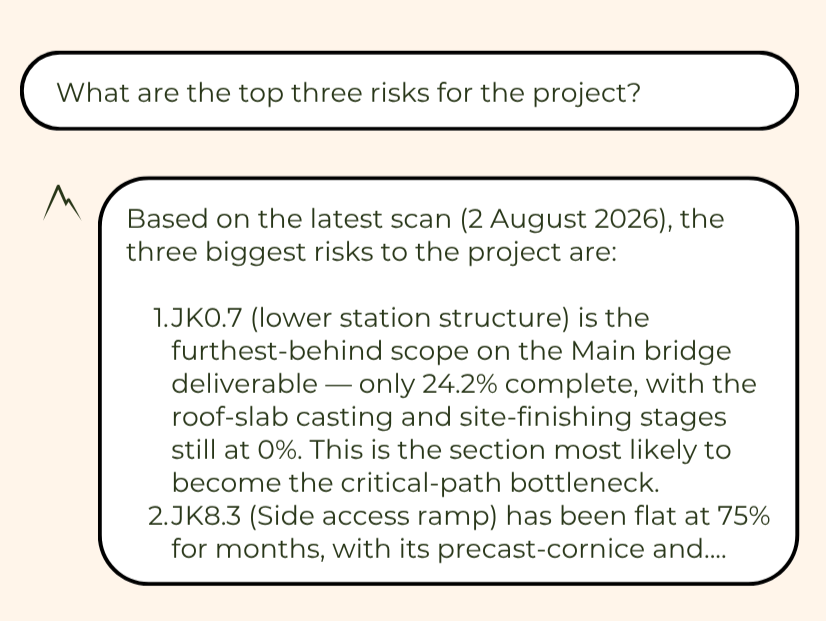
Chat with the reality you capture.
Ask about the construction elements, material or equipment on site, in plain language. Every answer is grounded in your own scans, located on your own map.
- Every element located, sized and tracked over time
- Answers grounded only in your own data
- Works across dozens of kilometres of corridor
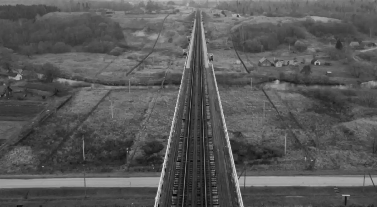
The bigger the project, the more it needs Arbel AI.
The teams building at a scale nobody can walk are the teams that need this most. That is the room we work in.
See for yourself.
Test us out. All Arbel AI need is 48 hours with one scan you already own.
Need to have a chat first? Sure, no pressure. It always starts with a meeting.
- One scan
- 48 hours
- Your own site
